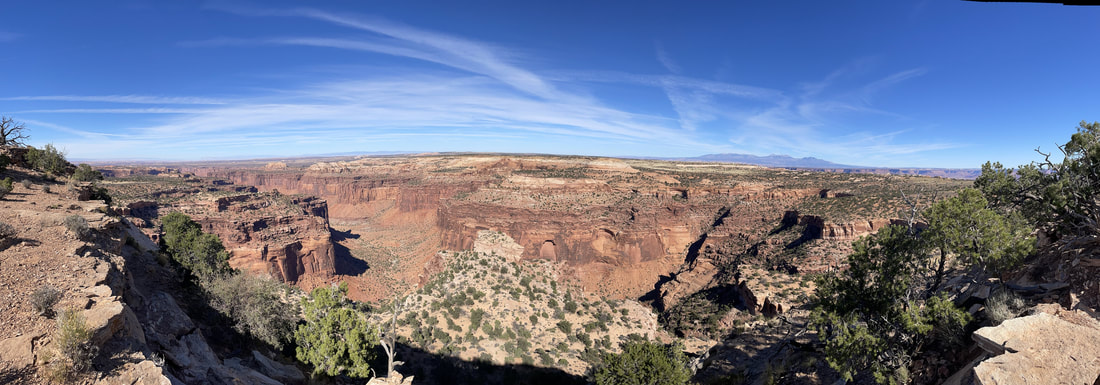
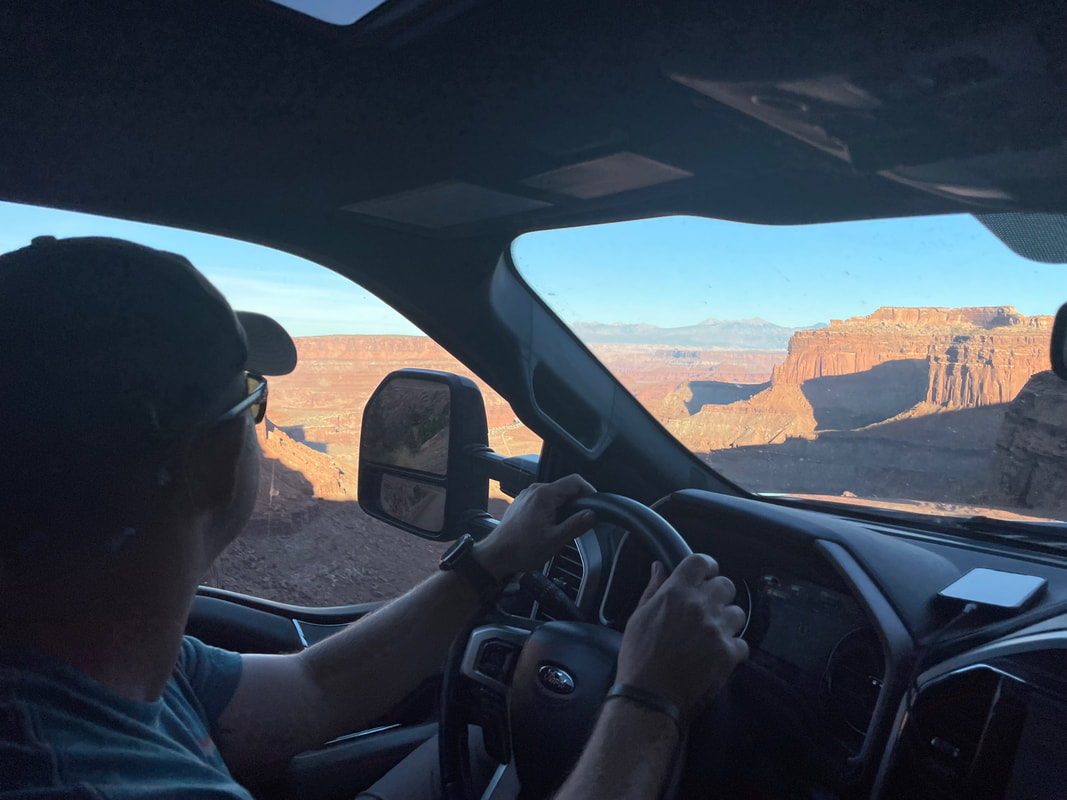
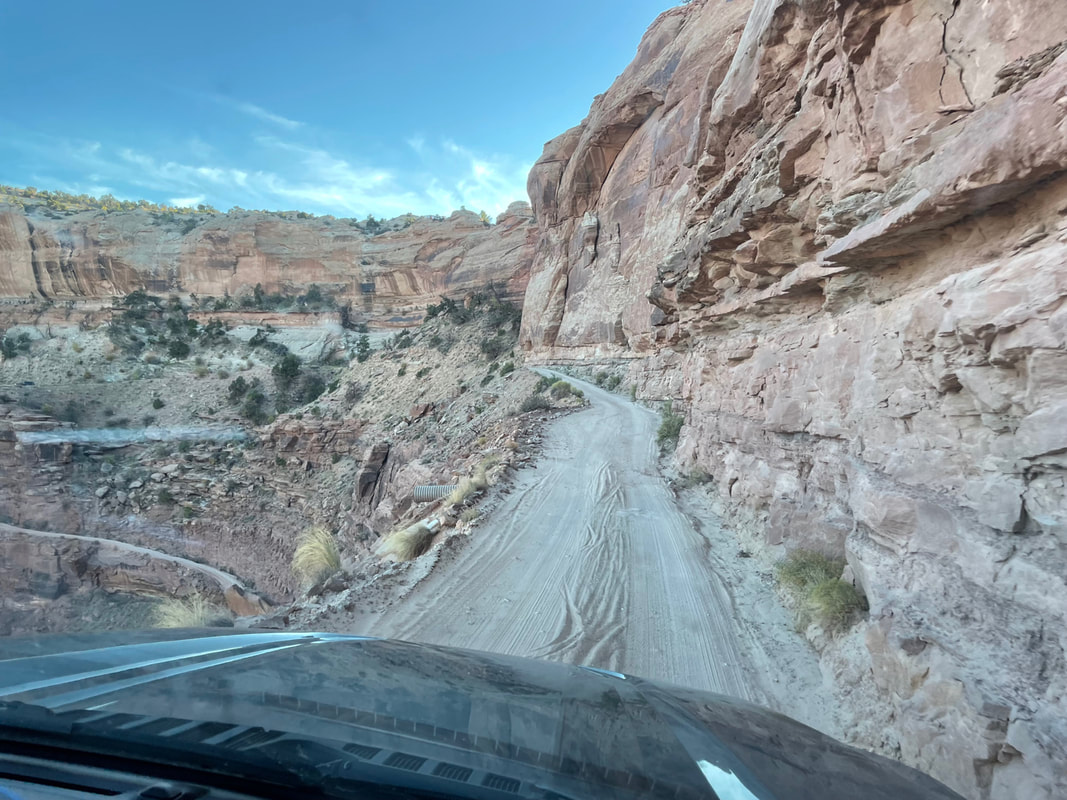
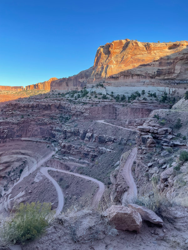
 At 337,598 acres of land, Canyonlands covers a lot of ground, yet the majority of visitors only get to see one of four districts of the park. Most popular is Island in the Sky, the northernmost section and most easily accessible from the recreation hub of Moab, Utah. We stayed at the Spanish Trail RV Park for six nights exploring the Moab area, and Island in the Sky was about 45 minutes from our campground. The Green and Colorado Rivers (considered a district in itself) separate the three other districts, and there are no connecting roads, so a visit to The Needles or The Maze will take a 2-6 hour drive from Moab. If it weren't for our GyPSy Guide*, we never would have noticed why the section is called Island in the Sky. Just after the Visitor Center is a segment of road called The Neck. This portion is just a few feet wider than the road (40 feet to be exact), and is the only connection of the mainland to the plateau that makes up this area of Canyonlands. In fact, early homesteaders used this grassy plateau to feed cattle, using the surrounding canyons as natural barriers to contain any wayward bovine. Early settlers reported the grass was "up to a horse's belly," but by 1964 when the plateau became a national park, the grass was nearly gone, having been over-consumed for decades. Very slowly, the native grasses are returning to their natural state, but this process takes much longer in the desert than it does back east! Currently the sparse patches of grass are about knee length. (Thank you GyPSy for that tidbit of history!) We spent the day stopping at viewpoints and doing short hikes at Mesa Arch, Aztec Butte, and Whale Rock (the kids' favorite.) The views were out of this world! Before heading back to town, Dusty decided that he just NEEDED to drive Shafer Trail (because some drunk guy at the campground told him it was the best road ever!) In the days of cattle ranching, crazy white men who needed to conquer the canyon made a one-cow-wide trail that zig-zagged down the side of a cliff into the depths. These days it's a little wider than one vehicle, but still a dirt road that could use some maintenance. And even today, crazy white men need to conquer it. I was ok until we started on the switchbacks descending 1500 feet into the canyon, at which point I was certain we were going to die. Absolutely terrifying. This "road" might be ok in a Jeep made for the backroads, but a Ford F350 with tires aired up to 80 PSI was not made for bouncy gravel roads and hairpin turns on the edge of a cliff. Thankfully, Dusty gave up on his dream (likely because he got tired of listening to his wife and daughter shrieking in fear) and found a tight turn to maneuver back around and up the mountain. So. Scary. Canyonlands Island in the Sky was beautiful...definitely worth a stop if you're in the area. The other sections of the park are more primitive in nature and great for high clearance four-wheel vehicles, backcountry backpacking, and mountain biking, and I'm sure they'd be worth a visit as long as you're prepared for your time there. Whether you're into some serious outdoor adventuring or just a beautiful scenic drive, Canyonlands has something to fit everyone. **Correction: Shafer Trail was not formed by crazy white men. Originally, it was a Native American trail used to access resources on the mesa top. Later it became a trail for sheep herders moving their flocks. In the 1950's it was widened to fit trucks that were used to move uranium out of the canyon. It was named after John Shafer, who used the trail to move his cattle. But, even so, crazy white men still feel the need to conquer it. Case in point: 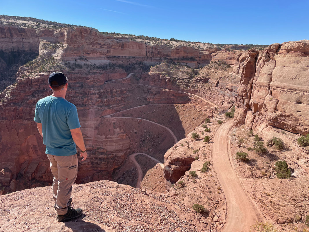 Dustin dreaming of conquering Shafer Trail *Contains affiliate link
0 Comments
Leave a Reply. |
Archives
October 2022
Categories
All
|
 RSS Feed
